Notes
Blog
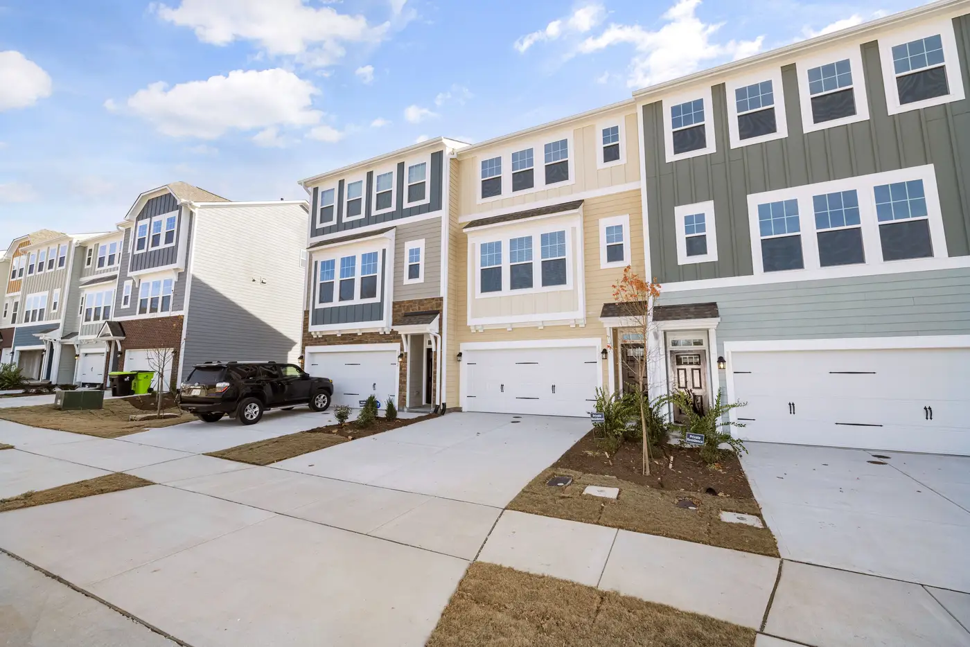 Field notes: the subdivision that finished building the month the committee voted no
A site selection field note on the lag between committee votes and ground truth, and the habit of checking what's actually built before the next meeting.
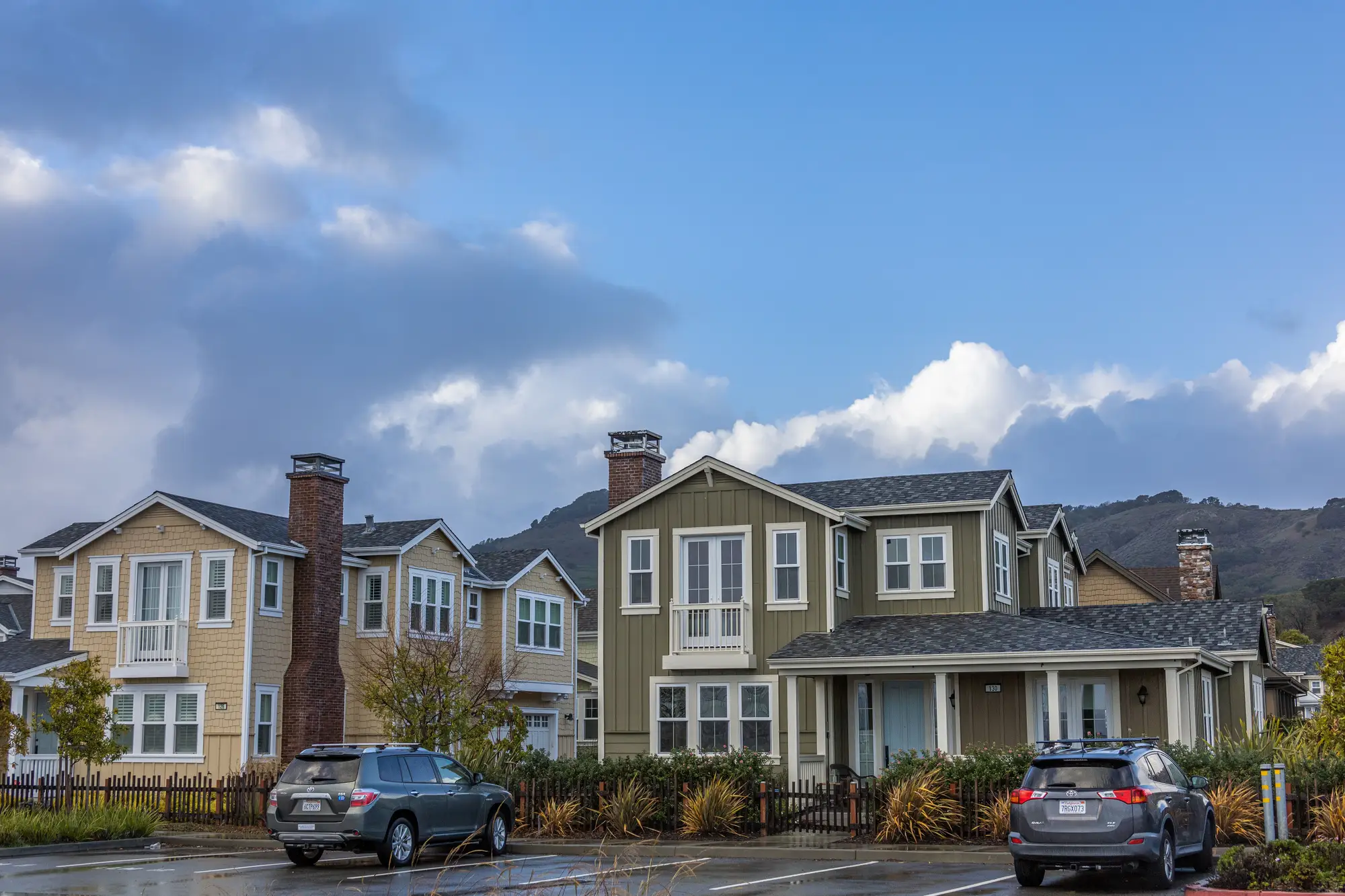 How to spot new rooftops before census data catches up
ACS estimates lag new construction by years. Here's how to read rooftop growth straight from imagery before the census numbers catch up.
- Reading housing mix when your radius doesn't match the census tract
Census tracts and drive-time rings rarely line up. Here's why, and how site selection analysts work around the mismatch.
 Mobile home park vs. manufactured housing subdivision in satellite imagery
How to distinguish a rental mobile home park from a manufactured housing subdivision in aerial imagery, and why the density signal matters for a site read.
- Field notes: when the drive-time ring lied about what was built
A drive-time ring that scored well hid a vacant platted subdivision and a mismatched renter population. Field notes on reading the ground, not just the polygon.
- Housing type mix: a built-form demand proxy for site selection
Housing type mix definition and why it beats a population count: a look at built form as a demand proxy for retail site selection.
- Garden apartments vs. townhomes: reading the difference from overhead imagery
How to separate garden apartment complexes from townhome rows in high-res overhead imagery using roofline, footprint, and parking cues.
- Estimating housing units per acre from satellite imagery
A site selection analyst's walkthrough for reading housing density off satellite and aerial imagery when you need a units-per-acre proxy fast.
 How to read a zoning map before you shortlist a retail site
A walkthrough for site selection analysts on reading zoning maps and codes, and why the map alone can't tell you what's built on the ground.
- What a land use mix score tells a site selection analyst
What a land use mix score tells a site selection analyst, and why housing type mix and land use breakdown belong in the trade area packet.
- How to estimate rooftop count in a trade area without parcel data
Parcel data runs thin or stale in a lot of trade areas. Here's how to count rooftops from imagery instead, and why housing mix beats raw count.
 Ring study vs. drive-time polygon: which trade area definition to use
Rings are fast, drive-time polygons follow the road network. How site selection analysts pick between them, and what neither one tells you.
- What is a Huff model in retail site selection?
How the Huff model estimates probability of patronage for a candidate site, and why the demand-side inputs are where most estimates break down.
- What missing middle housing means for site selection
What missing middle housing means for a trade area, and why duplex-to-fourplex density changes how a candidate site pulls.