Blog·
Garden apartments vs. townhomes: reading the difference from overhead imagery
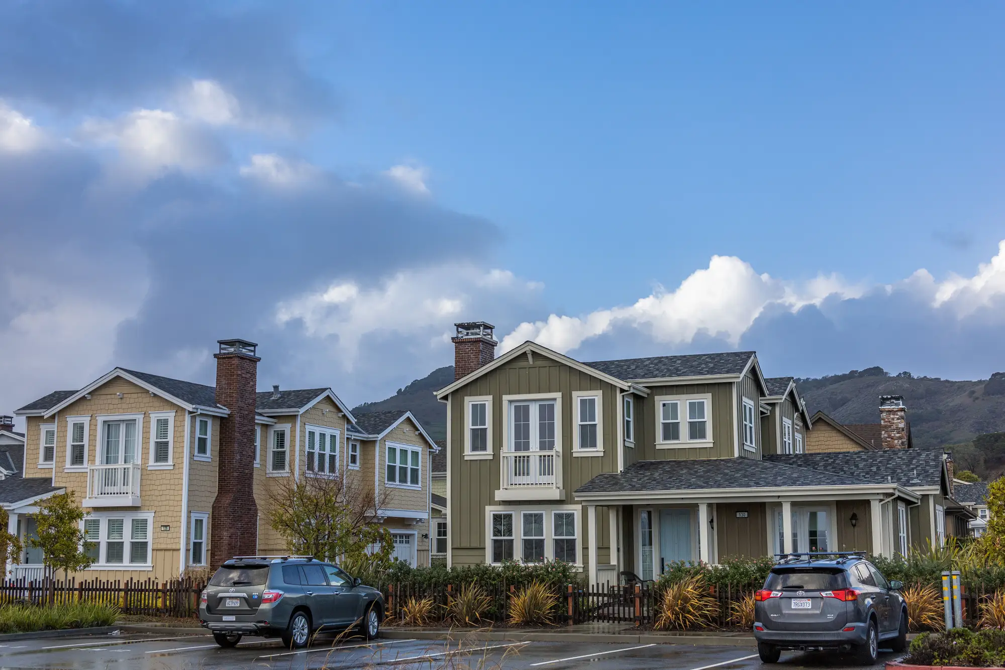
A lot of trade area work still treats "multifamily" as one bucket. It isn't, and the distinction matters more than it gets credit for. A garden apartment complex and a townhome development can sit on parcels of similar size, show up as similar dots in a parcel database, and still produce completely different household profiles, turnover rates, and spending patterns nearby. If you're sizing a trade area off secondary data alone, you can miss that difference entirely. Overhead imagery won't.
Here's what separates the two when you're looking down at a parcel instead of at a tax record.
Roofline and footprint are the first tell
Garden apartments read as large, continuous buildings, usually two or three stories, with a single roofline running the length of the structure. Repeated window bays and balconies at even intervals tell you you're looking at one building with many units stacked inside it. The footprint is usually rectangular or a shallow U or L shape, built around a central parking field or a courtyard.
Townhomes break that pattern. Each unit has its own narrow footprint, usually 18 to 24 feet wide, attached to its neighbors in a row of anywhere from three to eight units. The roofline isn't continuous. You'll see a slight seam or step between units, sometimes a change in roof pitch or a party wall shadow line, even when the whole row was built in one phase with matching materials. From overhead, a townhome row looks like a line of narrow boxes. A garden apartment building looks like one wide box.
Parking layout confirms what the roofline suggests
If the roofline is ambiguous, read the parking. Garden apartment sites almost always have shared surface lots, often with carports in rows, positioned away from the building face, sized for a resident count that's well above what any single unit would need. There's no dedicated driveway per unit.
Townhomes do the opposite. Each unit typically has its own driveway, a one- or two-car garage tucked into the front or rear of the unit, or an attached carport. That one-to-one relationship between dwelling and parking spot is one of the most reliable signals in the whole exercise. If you count units along a row and the driveway count matches, you're looking at attached housing, not a multifamily building with a shared lot.
Density and lot coverage round out the read
Garden apartment developments generally show higher unit density per acre but lower building footprint coverage relative to total site area. There's open green space between buildings, a leasing office near the entrance, and often a pool or clubhouse as a distinct structure. Townhome developments tend to show tighter lot coverage per unit, less shared open space, and more private rear yards fenced off unit by unit. That fencing pattern, individual rectangles rather than one shared green, is itself a useful land use cue when you're trying to separate the two from above.
None of these signals is conclusive alone. A short row of attached units next to a surface lot could read either way until you check the driveway pattern against the unit count. That's exactly the kind of judgment call a numbered site brief is built to make explicit rather than leave buried in a density number pulled from a parcel file.
Why the distinction matters for site selection
Housing type tracks household formation as closely as it tracks density. Garden apartment residents skew toward shorter tenure, smaller household size, and a different retail draw pattern than townhome owners, who tend to look more like detached single-family households in spending behavior even on a smaller lot. If your trade area model treats both as interchangeable "multifamily," you're averaging two different demand curves into one number that describes neither.
That's the gap Trade Area Profiling is built to close: a numbered brief per candidate site that reads the built form directly from high-res imagery and breaks out housing type mix, density, and land use rather than leaning on a stale category code.
If you've got a candidate site where the multifamily label is doing too much work, run it through Trade Area Profiling and see what the imagery actually shows.